|
|
|
|
 |
||
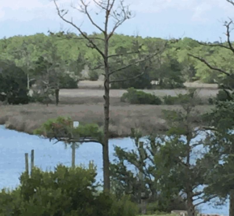
Roanoke Island

| Image Data | |||
| Date: Direction: State: Country: Marker ID: |
07/15/2015 South East North Carolina USA 311 |
||
| Location: | Manteo north of Sandy Point | ||
|
|
|
|
Association: Scientist
Longitude: -75.668504
Description: Tidal salt marsh of Juncus. Pine trees occupy slightly higher sand ridges and dredge spoil areas within the marsh.
| No Additional Dates for this Site. |