|
|
|
|
 |
||
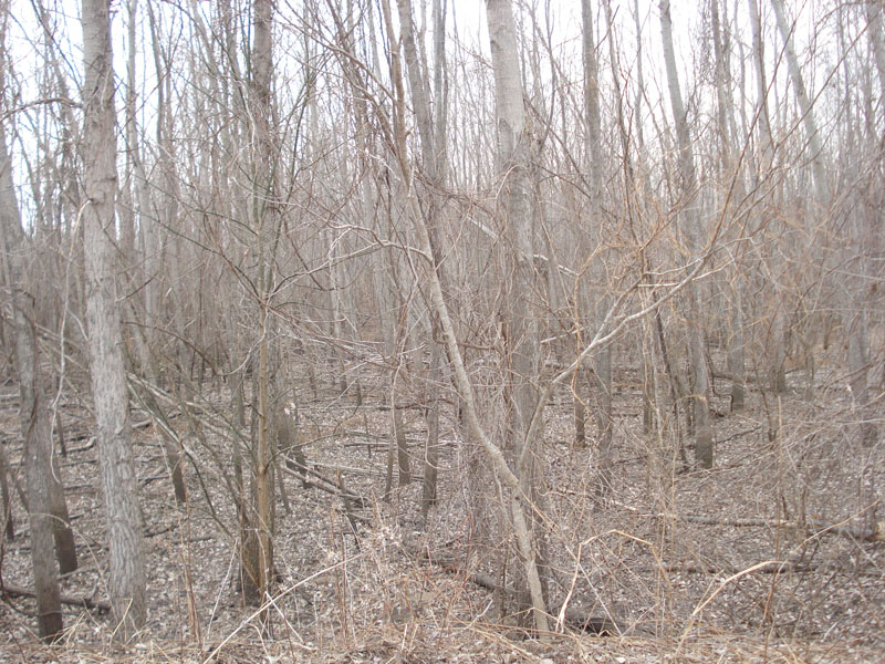
Overton Bottoms

| Image Data | |||
| Date: Direction: State: Country: Marker ID: |
02/24/2009 West Missouri USA 31 |
||
| Location: | Missouri River north of I-70 | ||
|
|
|
|
Association: Government
Longitude: -92.572668
Description: Forested Wetland area of young and small growth box elder, maple, and sycamore. Area is flooded seasonally as the Missouri River floods Overton Bottoms.
| No Additional Dates for this Site. |