|
|
|
|
 |
||
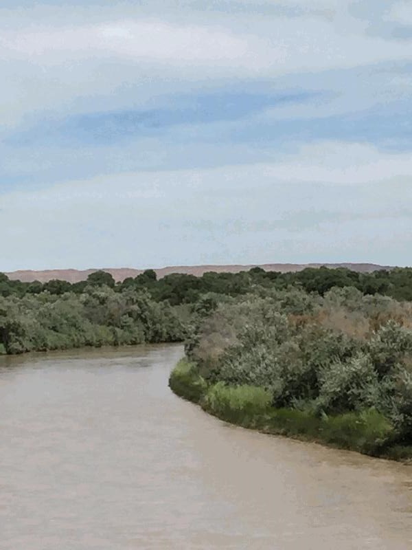
San Juan River

| Image Data | |||
| Date: Direction: State: Country: Marker ID: |
08/06/2015 South East New Mexico USA 304 |
||
| Location: | U.S. Hwy 64 at Shiprock | ||
|
|
|
|
Association: Scientist
Longitude: -108.687347
Description: Floodplain of river subjected to irregular flooding. Most of the vegetation is a scrub-shrub mix of Russian Olive, Tamarisk, and other species. Some clumps of Phragmites appear along the banks of the river.
| No Additional Dates for this Site. |