|
|
|
|
 |
||
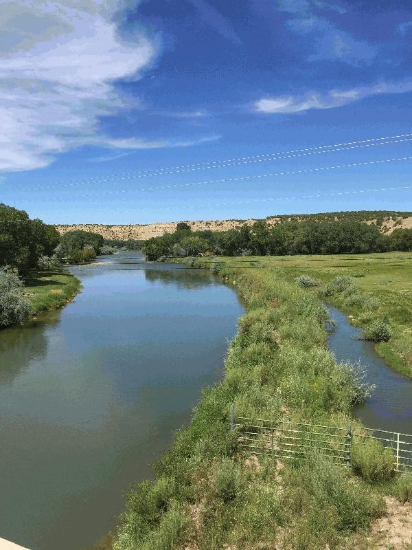
Animas River

| Image Data | |||
| Date: Direction: State: Country: Marker ID: |
08/06/2015 North West New Mexico USA 303 |
||
| Location: | U.S. Hwy 550 at Cedar Hill | ||
|
|
|
|
Association: Scientist
Longitude: -107.895784
Description: Stream channel of river with parallel irrigation ditch. Floodplain mostly developed for crop and grass agriculture and limited numbers of homes.
| No Additional Dates for this Site. |