|
|
|
|
 |
||
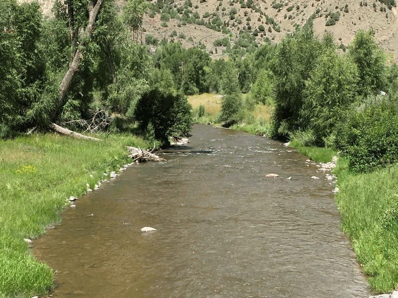
Cimarron River

| Image Data | |||
| Date: Direction: State: Country: Marker ID: |
08/09/2015 North Colorado USA 301 |
||
| Location: | U.S. Hey 50 at Cimarron | ||
|
|
|
|
Association: Scientist
Longitude: -107.555643
Description: Fast moving stream, great trout habitat. Stream channel banks lined with emergent grass Timothy and large and small Cottonwood trees.
| No Additional Dates for this Site. |