|
|
|
|
 |
||
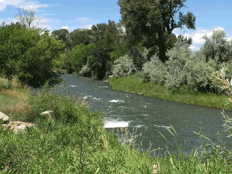
Uncompahgre River

| Image Data | |||
| Date: Direction: State: Country: Marker ID: |
08/09/2015 North Colorado USA 300 |
||
| Location: | South side of Montrose | ||
|
|
|
|
Association: Scientist
Longitude: -107.867905
Description: Stream channel and floodplain lined with emergent fresh marsh of cattail and Timothy, scrub-shrub of willow, Russian Olive, Elm, and Cottonwoods, and forested wetland of taller Cottonwoods.
| No Additional Dates for this Site. |