|
|
|
|
 |
||
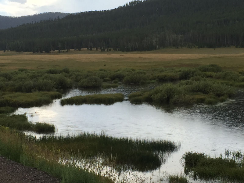
Cart Creek Meadow

| Image Data | |||
| Date: Direction: State: Country: Marker ID: |
08/15/2015 South West Utah USA 290 |
||
| Location: | U.S. Highway 191 north of Vernal | ||
|
|
|
|
Association: Scientist
Longitude: -109.471384
Description: Uintah Mountains at 8,180 feet elevation. Wetland is a fresh marsh meadow at the confluence of Cart, McKee, and Francis creeks.
| No Additional Dates for this Site. |