|
|
|
|
 |
||
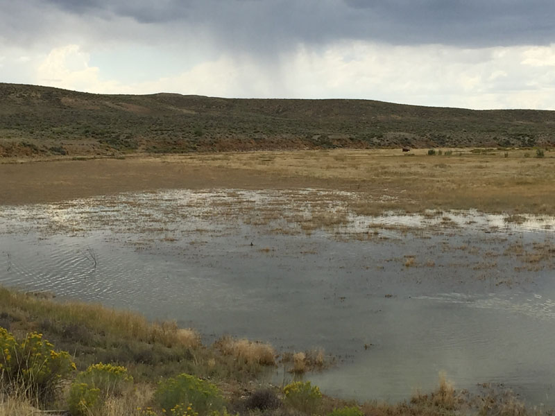
Big Dry Creek

| Image Data | |||
| Date: Direction: State: Country: Marker ID: |
08/15/2015 South West Wyoming USA 289 |
||
| Location: | Wyoming Highway 530 southwest of Green River | ||
|
|
|
|
Association: Scientist
Longitude: -109.616829
Description: Big Dry Creek is a branch of Blacks Fork of the Green River. When Flaming Gorge Reservoir on the Green River is at full capacity this lower section of Big Dry Creek is underwater. However, the reservoir is currently (9/15/2015) low by 7 feet, leaving this area dry enough to be vegetated by Timothy and sedges and used for grazing.
| No Additional Dates for this Site. |