|
|
|
|
 |
||
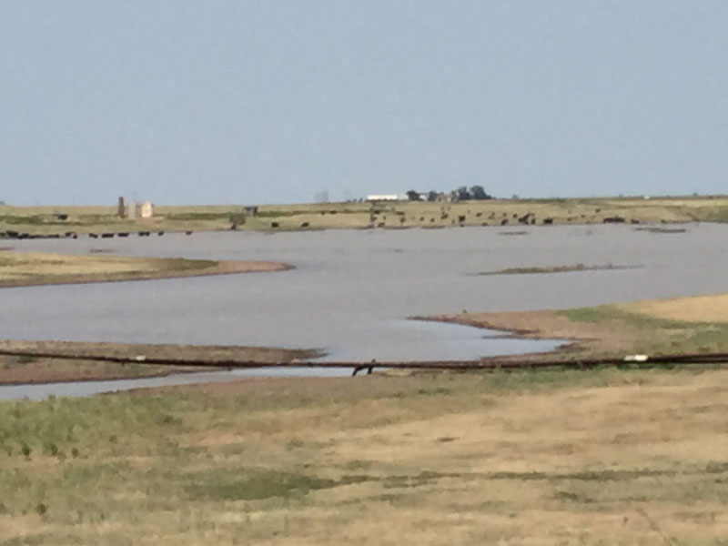
Lake McConnell

| Image Data | |||
| Date: Direction: State: Country: Marker ID: |
08/29/2015 North Texas USA 269 |
||
| Location: | West of Pampa | ||
|
|
|
|
Association: Scientist
Longitude: -101.078081
Description: Playa lake with oil development and cattle grazing activity. Isolated open water wetland in sinkhole depression.
| No Additional Dates for this Site. |