|
|
|
|
 |
||
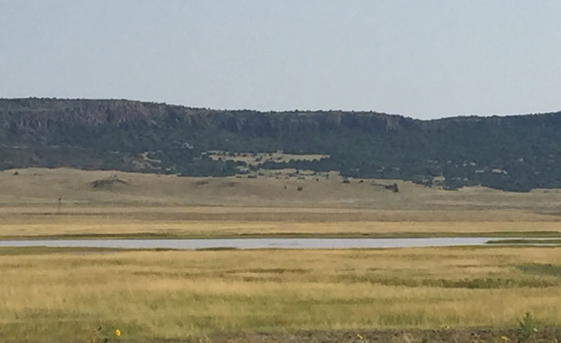
King Lake

| Image Data | |||
| Date: Direction: State: Country: Marker ID: |
08/29/2015 North New Mexico USA 267 |
||
| Location: | Raton Volcanic Field Southwest of Mt. Capulin | ||
|
|
|
|
Association: Scientist
Longitude: -104.043717
Description: Lake within Raton Volcanic Field southwest of Mt. Capulin. Intermittent isolated wetland surrounded by lava flows that usually dries up in summer.
| No Additional Dates for this Site. |