|
|
|
|
 |
||
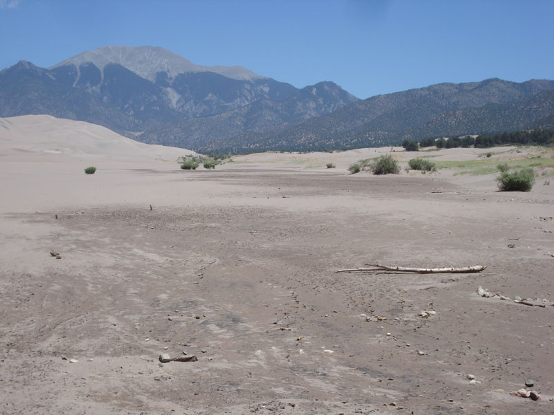
Buck Creek

| Image Data | |||
| Date: Direction: State: Country: Marker ID: |
06/21/2012 North East Colorado USA 264 |
||
| Location: | Great Sand Dunes National Park | ||
|
|
|
|
Association: Government
Longitude: -105.521879
Description: Buck Creek is a losing stream. Water from the mountains disappears into the sand streambed and flows underground. The surface of the streambed is saturated. After summer storms and heavy snowmelt from the mountains the water will flow across the surface of the streambed, making it an intermittent flow pattern.
| No Additional Dates for this Site. |