|
|
|
|
 |
||
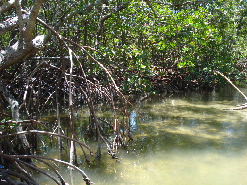
Rookery Bay - Shell Island

| Image Data | |||
| Date: Direction: State: Country: Marker ID: |
05/08/2015 South West Florida USA 260 |
||
| Location: | Rookery Bay National Estuarine Research Reserve | ||
|
|
|
|
Association: Scientist
Longitude: -81.734671
Description: Red Mangrove with prop roots and White Mangrove around a pond in Rookery Bay. Tide is coming in through the mangroves.
| No Additional Dates for this Site. |