|
|
|
|
 |
||
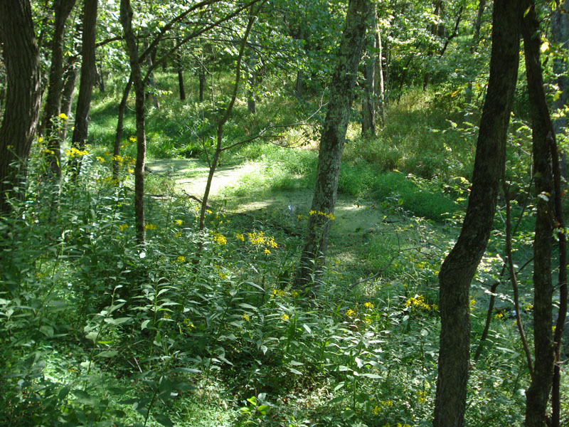
C&O Canal

| Image Data | |||
| Date: Direction: State: Country: Marker ID: |
08/31/2008 South West Maryland USA 254 |
||
| Location: | Paw Paw Tunnel | ||
|
|
|
|
Association: Government
Longitude: -78.463486
Description: Chesapeake and Ohio Canal from the early 1800s has partially filled in with emergent herbaceous vegetation, aquatic plants, and scrub-shrub willow occupying the wet areas.
| No Additional Dates for this Site. |