|
|
|
|
 |
||
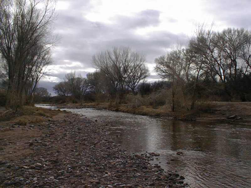
San Pedro River

| Image Data | |||
| Date: Direction: State: Country: Marker ID: |
01/06/2001 South Arizona USA 251 |
||
| Location: | South of East Charleston Road | ||
|
|
|
|
Association: Government
Longitude: -110.171515
Description: Perennial Stream with gravel and sand bars in channel. Stream banks have riparian scrub-shrub of willow and cottonwoods, with a floodplain forest of cottonwoods.
| No Additional Dates for this Site. |