|
|
|
|
 |
||
False River

| Image Data | |||
| Date: Direction: State: Country: Marker ID: |
08/25/2007 North East Louisiana USA 250 |
||
| Location: | Off LA Hwy 416 | ||
|
|
|
|
Association: Government
Longitude: -91.414157
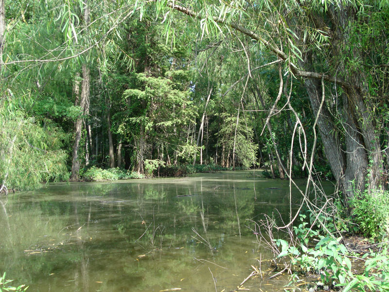
Description: Forested Wetland and bayou on natural sediment fill in old Mississippi River meander scar. Forested wetland swamp of bald cypress and willow.
| No Additional Dates for this Site. |