|
|
|
|
 |
||
Devils Tower

| Image Data | |||
| Date: Direction: State: Country: Marker ID: |
09/17/2011 North East Wyoming USA 25 |
||
| Location: | Devils Tower National Monument | ||
|
|
|
|
Association: Informal Educator
Longitude: -104.703655
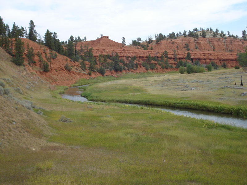
Description: Belle Fourche River with fringing Fresh Marsh along its banks. Floodplain is narrow with some grasses and Scrub-shrub. River had overbank flooding three weeks earlier.
| No Additional Dates for this Site. |