|
|
|
|
 |
||
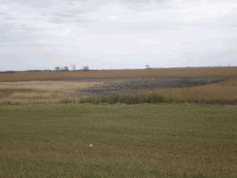
Farmed Pothole

| Image Data | |||
| Date: Direction: State: Country: Marker ID: |
10/22/2014 West North Dakota USA 246 |
||
| Location: | US 281 south of Ellendale | ||
|
|
|
|
Association: Scientist
Longitude: -98.527874
Description: Palustrine herbaceous persistent emergent marsh that is farmed. Center of pothole is saturated with no standing water present on surface.
| No Additional Dates for this Site. |