|
|
|
|
 |
||
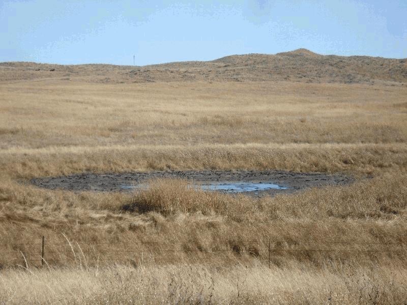
Northern Sandhills

| Image Data | |||
| Date: Direction: State: Country: Marker ID: |
10/20/2014 South Nebraska USA 245 |
||
| Location: | US Hwy 20 east of Merriman | ||
|
|
|
|
Association: Scientist
Longitude: -101.547808
Description: Palustrine isolated wetland of predominantly intermittently flooded unconsolidated shore of mud.
| No Additional Dates for this Site. |