|
|
|
|
 |
||
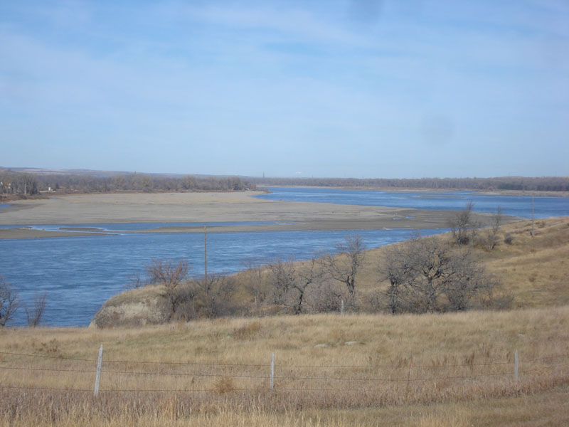
Missouri River

| Image Data | |||
| Date: Direction: State: Country: Marker ID: |
10/23/2014 North North Dakota USA 244 |
||
| Location: | Overlook off Road 1804 10 miles north of Bismarck | ||
|
|
|
|
Association: College Educator
Longitude: -100.880156
Description: Main channel of the Missouri River north of Bismarck. Large sand bars present in photo. Fall low flow in channel.
| No Additional Dates for this Site. |