|
|
|
|
 |
||
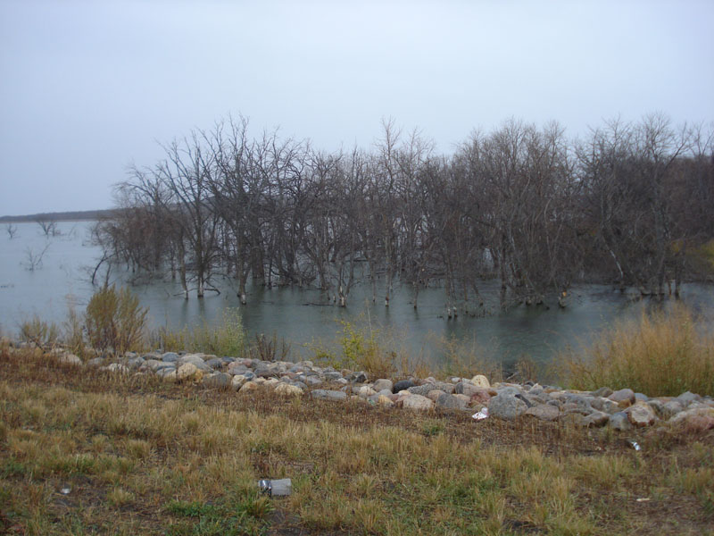
Devil's Lake

| Image Data | |||
| Date: Direction: State: Country: Marker ID: |
10/24/2014 South East North Dakota USA 241 |
||
| Location: | Madison Bay near ND Hwy 57 | ||
|
|
|
|
Association: College Educator
Longitude: -98.912423
Description: Forested area of dead hardwoods. Trees have died because they have been inundated within the past several years by the rising level of Devil's Lake.
| No Additional Dates for this Site. |