|
|
|
|
 |
||
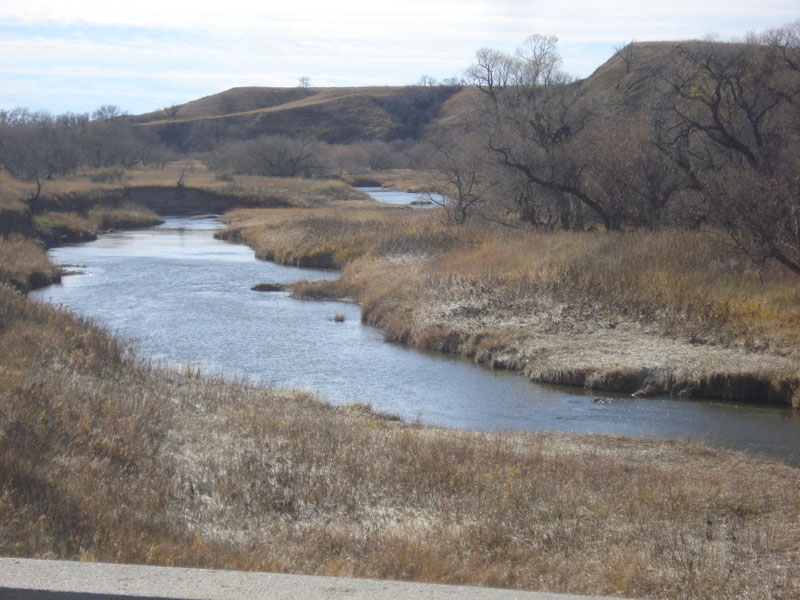
Hump Creek

| Image Data | |||
| Date: Direction: State: Country: Marker ID: |
10/23/2014 West South Dakota USA 240 |
||
| Location: | SD 65 south of McIntosh | ||
|
|
|
|
Association: Scientist
Longitude: -101.330799
Description: Small stream in northern plateau incised into flat alluvial valley bottom. Willow and sedges are primary channelside vegetation.
| No Additional Dates for this Site. |