|
|
|
|
 |
||
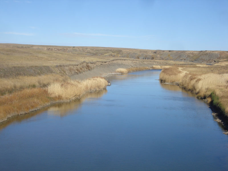
Belle Fourche River 2

| Image Data | |||
| Date: Direction: State: Country: Marker ID: |
10/24/2014 North South Dakota USA 235 |
||
| Location: | Hwy 34 east of Bear Butte | ||
|
|
|
|
Association: Scientist
Longitude: -103.132761
Description: River channel through western grazing land.
| No Additional Dates for this Site. |