|
|
|
|
 |
||
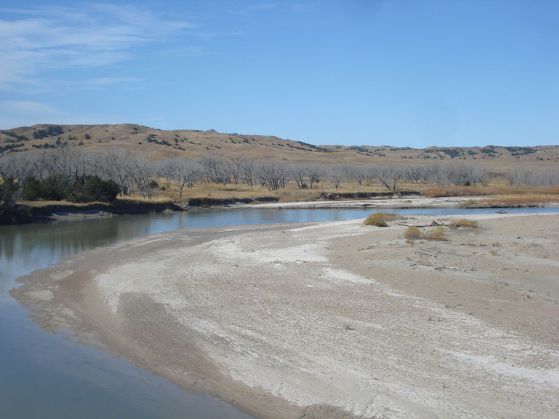
Belle Fourche River

| Image Data | |||
| Date: Direction: State: Country: Marker ID: |
10/24/2014 West South Dakota USA 233 |
||
| Location: | Hwy 34 at edge of Cheyenne River Reservation | ||
|
|
|
|
Association: Scientist
Longitude: -101.932826
Description: A prograding gravel/sand bar in channel bend that is forcing a deep cutbank on south side of river channel. Cottonwoods and juniper vegetation on floodplain terrace.
| No Additional Dates for this Site. |