|
|
|
|
 |
||
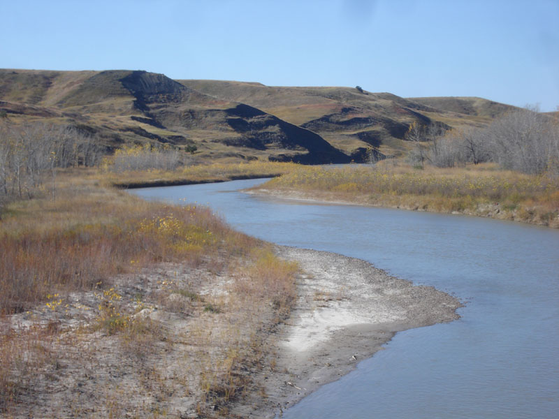
Cheyenne River

| Image Data | |||
| Date: Direction: State: Country: Marker ID: |
10/20/2014 South West South Dakota USA 228 |
||
| Location: | South Dakota Hwy 44 | ||
|
|
|
|
Association: College Educator
Longitude: -102.645489
Description: Cheyenne River's headwaters are in the Black Hills. The river flows through the Badlands. Banks are lined with Sand Bar willow scrub-shrub, and taller willow on first floodplain terrace.
| No Additional Dates for this Site. |