|
|
|
|
 |
||
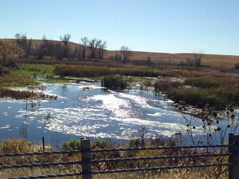
Dry Creek Wetland

| Image Data | |||
| Date: Direction: State: Country: Marker ID: |
10/20/2014 South Nebraska USA 223 |
||
| Location: | US Hwy 20 east of Merrimam | ||
|
|
|
|
Association: Scientist
Longitude: -101.674832
Description: Small sandhills stream through a depression. Herbacious emergent vegetation of cattail with open water.
| No Additional Dates for this Site. |