|
|
|
|
 |
||
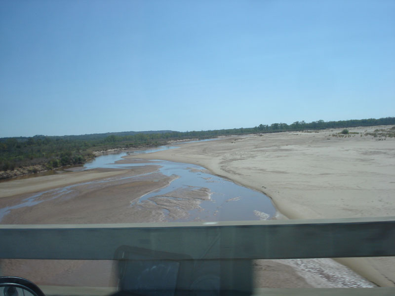
Red River at Burkburnett

| Image Data | |||
| Date: Direction: State: Country: Marker ID: |
10/18/2014 South East Texas USA 216 |
||
| Location: | I-44 over Red River | ||
|
|
|
|
Association: Individual
Longitude: -98.530970
Description: Red River at low flow in early fall. Water flow occupies a small area of streambed within the large channel of migrating sand bars.
| No Additional Dates for this Site. |