|
|
|
|
 |
||
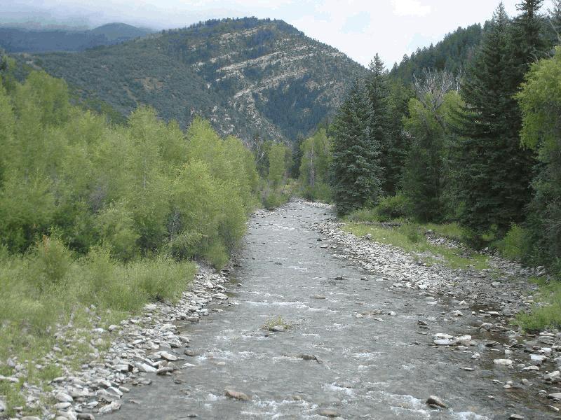
North Gunnison River

| Image Data | |||
| Date: Direction: State: Country: Marker ID: |
08/14/2014 East Colorado USA 211 |
||
| Location: | Gunnison County Rd 12 crossing the North Gunnison River | ||
|
|
|
|
Association: Scientist
Longitude: -107.271323
Description: Upper Perennial Riverine stream with permanent flow covering a portion of the Unconsolidated Bottom of cobble-gravel.
| No Additional Dates for this Site. |