|
|
|
|
 |
||
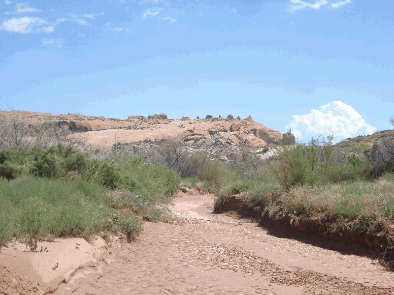
Salt Valley Wash

| Image Data | |||
| Date: Direction: State: Country: Marker ID: |
08/07/2014 North East Utah USA 210 |
||
| Location: | Arches National Park | ||
|
|
|
|
Association: Scientist
Longitude: -109.517378
Description: Riverine streambed that is intermittently flooded after local rainfall with a sand substrate.
| No Additional Dates for this Site. |