|
|
|
|
 |
||
| Image Data | |||
| Date: Direction: State: Country: Marker ID: |
09/14/2014 South North Carolina USA 204 |
||
| Location: | Cape Lookout National Seashore | ||
|
|
|
|
Association: Government
Longitude: -76.530880
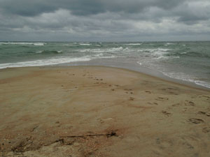
Description: Normal tide level at the very end of Cape Point. The point is a large sandflat that is flooded regularly with the tide but its length and width change considerably with storm and high water impacts.
| No Additional Dates for this Site. |