|
|
|
|
 |
||
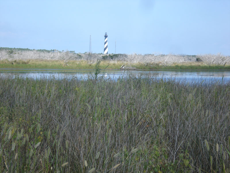
Cape Hatteras Point

| Image Data | |||
| Date: Direction: State: Country: Marker ID: |
09/16/2014 North North Carolina USA 203 |
||
| Location: | Cape Hatteras National Seashore | ||
|
|
|
|
Association: Government
Longitude: -75.529482
Description: Fresh Marsh of Timothy and Millet has been impacted by Hurricane Sandy in 2012 by the addition of saltwater into the pond and marsh leading to the growth of Juncus within the emergents. In the background, Wax Myrtle and Live Oak have been stressed and killed by high water and saltwater pushed in by Hurricane Sandy over the sand dunes along the shore.
| No Additional Dates for this Site. |