|
|
|
|
 |
||
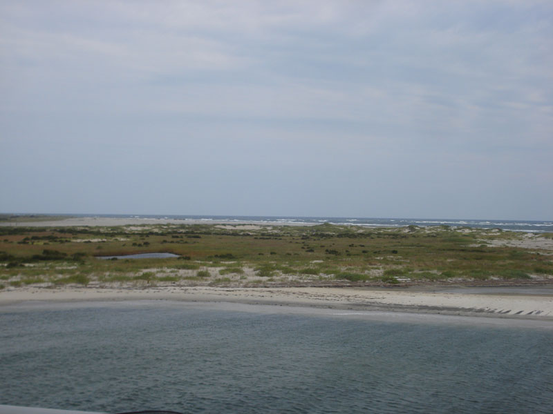
Oregon Inlet

| Image Data | |||
| Date: Direction: State: Country: Marker ID: |
09/17/2014 South East North Carolina USA 201 |
||
| Location: | North side of the Oregon Inlet | ||
|
|
|
|
Association: Government
Longitude: -75.540265
Description: Hurricane Sandy in 2012 and Hurricane Arthur on July 4, 2014 moved significant amounts of sand around the inlet changing the beaches and flats. Salt Marsh and saltwater ponds have been reduced in size.
| No Additional Dates for this Site. |