|
|
|
|
 |
||
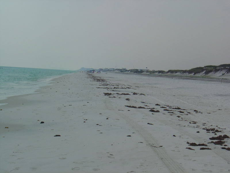
Grayton Beach

| Image Data | |||
| Date: Direction: State: Country: Marker ID: |
12/31/1996 West Florida USA 2 |
||
| Location: | Grayton Beach | ||
|
|
|
|
Association: Individual
Longitude: -86.149592
Description: Marine Gulf of Mexico shoreline. Intertidal zone beach washed by daily tides. Regular daily astronomical tide washes to debris line along the beach.
| No Additional Dates for this Site. |