|
|
|
|
 |
||
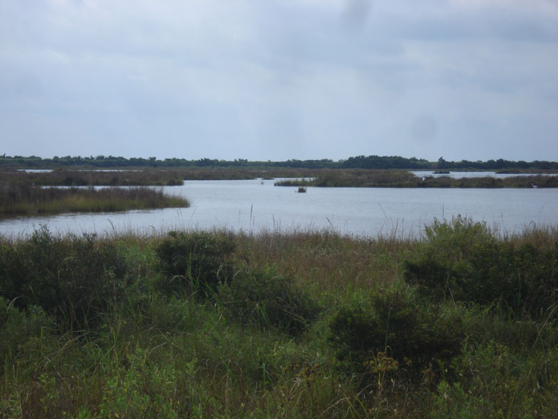
Pea Island Middle Pond

| Image Data | |||
| Date: Direction: State: Country: Marker ID: |
09/16/2014 West North Carolina USA 197 |
||
| Location: | Pea Island National Wildlife Refuge | ||
|
|
|
|
Association: Government
Longitude: -75.498047
Description: Freshwater impoundment for waterfowl and wading bird habitat. Islands of freshmarsh in ponds and impoundment levees have been impacted by Hurricane Sandy in 2012 and Hurricane Arthur in 2014, with high wind erosion, saltwater, and sand blown into the ponds.
| No Additional Dates for this Site. |