|
|
|
|
 |
||
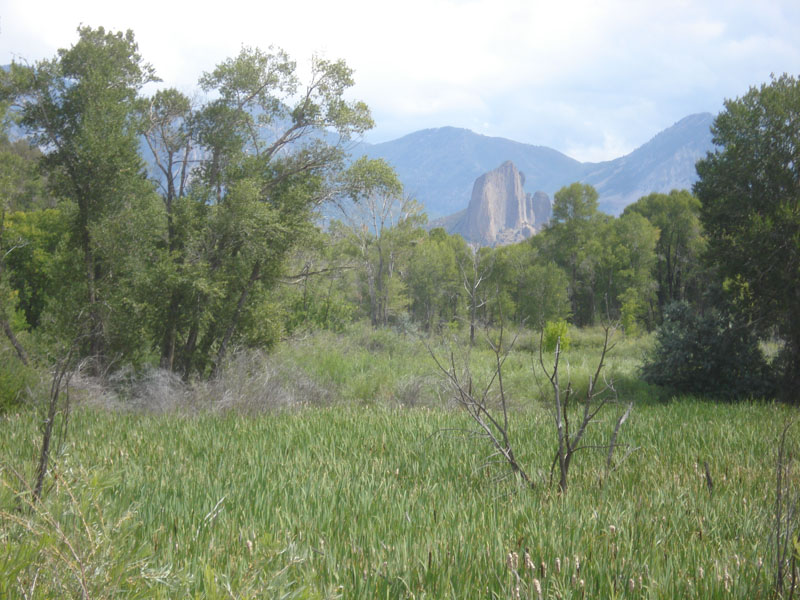
Smith Fork

| Image Data | |||
| Date: Direction: State: Country: Marker ID: |
08/13/2014 East Colorado USA 189 |
||
| Location: | Crawford | ||
|
|
|
|
Association: Scientist
Longitude: -107.602710
Description: Perched wetland above the bank of Smith Fork. Marsh is flooded by Smith Fork with upstream overbank flooding during high water stages, such as Spring snow melt. Emergent Fresh Marsh is predominantly cattails, with some bank Cottonwoods and Wetland Scrub-shrub willow.
| No Additional Dates for this Site. |