|
|
|
|
 |
||
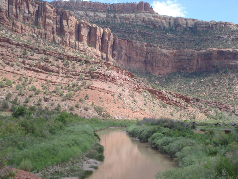
Dolores River

| Image Data | |||
| Date: Direction: State: Country: Marker ID: |
08/06/2014 South Colorado USA 182 |
||
| Location: | Bedrock | ||
|
|
|
|
Association: Scientist
Longitude: -108.886013
Description: Dolores River is a floodprone steam, often carries a lot of sediment, and often overflows its banks. The floodplain is narrow and is covered with scrub-shrub of willow. The adjacent floodplain is covered with Tamarisk that has been sprayed to eradicate it.
| No Additional Dates for this Site. |