|
|
|
|
 |
||
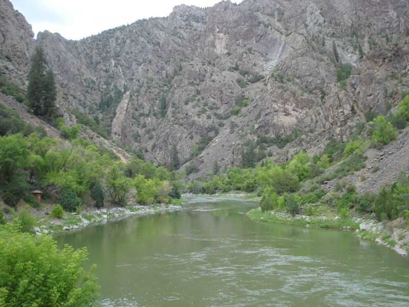
Black Canyon of the Gunnison

| Image Data | |||
| Date: Direction: State: Country: Marker ID: |
08/04/2014 North West Colorado USA 181 |
||
| Location: | Black Canyon of the Gunnison National Park | ||
|
|
|
|
Association: Scientist
Longitude: -107.648174
Description: Stream Channel of the Gunnison River just below the East Portal Diversion Dam. River level fluctuates with Spring snow melt as shown by the higher water marks on the channel banks.
| No Additional Dates for this Site. |