|
|
|
|
 |
||
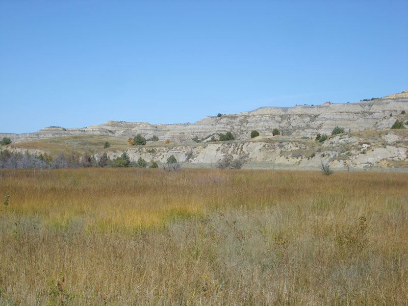
Squaw Creek Wetland

| Image Data | |||
| Date: Direction: State: Country: Marker ID: |
09/25/2011 North West North Dakota USA 169 |
||
| Location: | Theodore Roosevelt National Park | ||
|
|
|
|
Association: Government
Longitude: -103.334484
Description: Fresh marsh along Squaw Creek before it joins the Little Missouri River. The wetland is the result of sediment deposited by flooding of the Little Missouri, which blocked Squaw Creek's drainage.
| No Additional Dates for this Site. |