|
|
|
|
 |
||
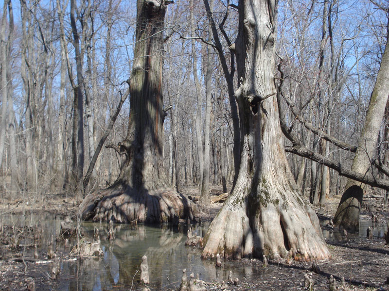
Cache River Big Cypress

| Image Data | |||
| Date: Direction: State: Country: Marker ID: |
03/28/2014 East Illinois USA 165 |
||
| Location: | Cache River State Management Area | ||
|
|
|
|
Association: Scientist
Longitude: -88.983741
Description: Big Cypress trees in Semi-permanently flooded to seasonally saturated old river channel.
| No Additional Dates for this Site. |