|
|
|
|
 |
||
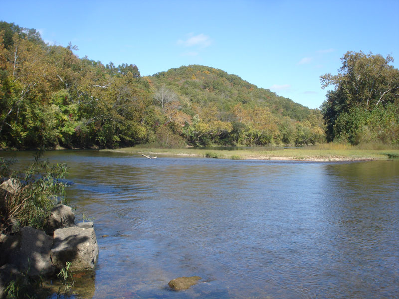
Meramec River

| Image Data | |||
| Date: Direction: State: Country: Marker ID: |
10/16/2013 North East Missouri USA 162 |
||
| Location: | Meramec Caverns Park | ||
|
|
|
|
Association: Government
Longitude: -91.085525
Description: Gravel bar formed at bend in channel. Gravel bar is constantly changing size and shape with flooding water regimes. The bar has about 60% cover of herbaceous emergent vegetation. The patch of scrub-shrub established on the bar is Sycamore. Bank and floodplain forested wetland is Sycamore, willow, American Elm, Green Ash, Silverleaf Maple, and Birch.
| No Additional Dates for this Site. |