|
|
|
|
 |
||
Rifle Range Rd

| Image Data | |||
| Date: Direction: State: Country: Marker ID: |
09/03/2013 North West Alabama USA 151 |
||
| Location: | Tallassee | ||
|
|
|
|
Association: Individual
Longitude: -85.898817
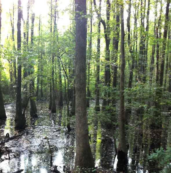
Description: Permanently wet; flooded by river overflow; Tupelo hardwood trees over 20 feet tall.
| No Additional Dates for this Site. |