|
|
|
|
 |
||
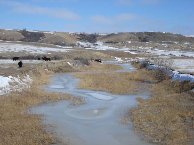
Missouri Breaks

| Image Data | |||
| Date: Direction: State: Country: Marker ID: |
03/09/2008 East North Dakota USA 15 |
||
| Location: | North of New Town on road 1804 | ||
|
|
|
|
Association: Informal Educator
Longitude: -102.615137
Description: Riparian vegetation of emergent herbaceous sedges in stream floodplain between terraces; willow scrub-shrub at edge of terrace.
| No Additional Dates for this Site. |