|
|
|
|
 |
||
| Image Data | |||
| Date: Direction: State: Country: Marker ID: |
03/07/2002 South East Oregon USA 145 |
||
| Location: | Young's River | ||
|
|
|
|
Association: Government
Longitude: -123.867352
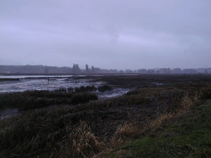
Description: Estuarine tidal emergent salt marsh of Juncus spp. and Spartina alterniflora. Tide is out.
| No Additional Dates for this Site. |