|
|
|
|
 |
||
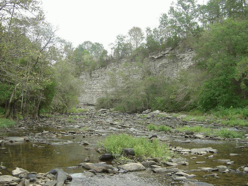
Locust Fork of Warrior River

| Image Data | |||
| Date: Direction: State: Country: Marker ID: |
10/10/2005 North East Alabama USA 137 |
||
| Location: | Swann Bridge Road | ||
|
|
|
|
Association: Scientist
Longitude: -86.599691
Description: Upper Perennial Riverine stream channel with rock bottom comprised of predominantly rubble. Fresh water regime, permanently flowing.
| No Additional Dates for this Site. |