|
|
|
|
 |
||
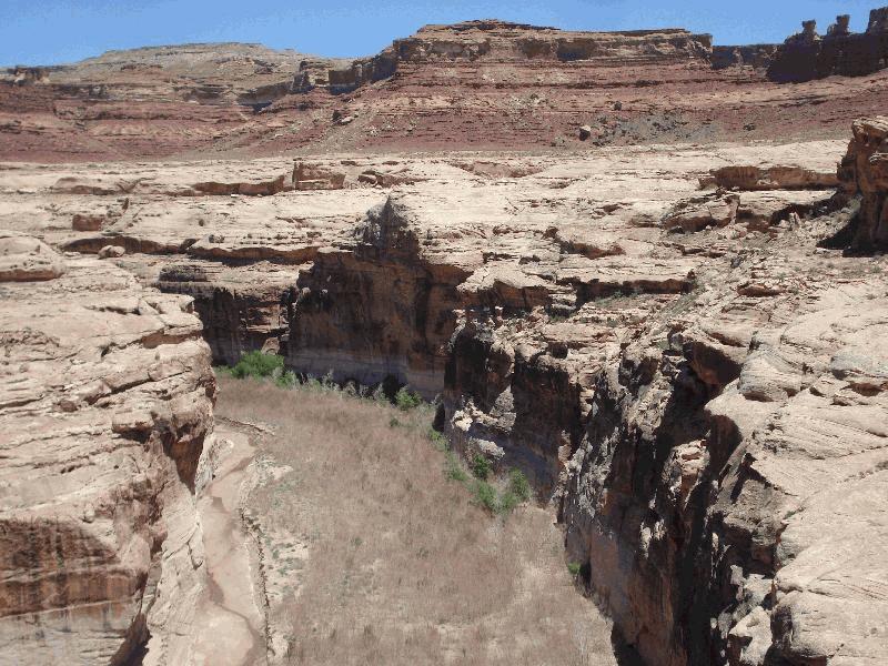
Dirty Devil River

| Image Data | |||
| Date: Direction: State: Country: Marker ID: |
06/22/2012 North East Utah USA 133 |
||
| Location: | Utah Hwy 95 crossing the Dirty Devil River | ||
|
|
|
|
Association: Scientist
Longitude: -110.385722
Description: Palustrine floodplain of the Dirty Devil River is dominated by dead Sandbar Willow scrub-shrub. A few live Cottonwood trees are along the sides of the canyon wall. The Dirty Devil River is dry in summer.
| No Additional Dates for this Site. |