|
|
|
|
 |
||
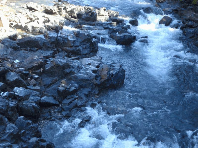
South Yuba River

| Image Data | |||
| Date: Direction: State: Country: Marker ID: |
02/21/2013 South East California USA 128 |
||
| Location: | Edwards Crossing N. Bloomfield Road | ||
|
|
|
|
Association: Scientist
Longitude: -120.983602
Description: Upper Perennial Riverine Channel with a rock bottom of bedrock. Channel is permanently flooded with flow. Water chemistry is fresh.
| No Additional Dates for this Site. |