|
|
|
|
 |
||
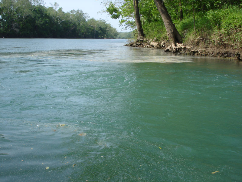
Boiling Springs

| Image Data | |||
| Date: Direction: State: Country: Marker ID: |
05/19/2013 North Missouri USA 120 |
||
| Location: | Gasconade River north of Hwy 28 bridge | ||
|
|
|
|
Association: Government
Longitude: -92.035823
Description: Boiling Spring is a freshwater spring that wells up from below the east bank of the Gasconade River. The spring flows at a rate of 65 cubic feet per second, or about 42 million gallons of water per day.
| No Additional Dates for this Site. |