|
|
|
|
 |
||
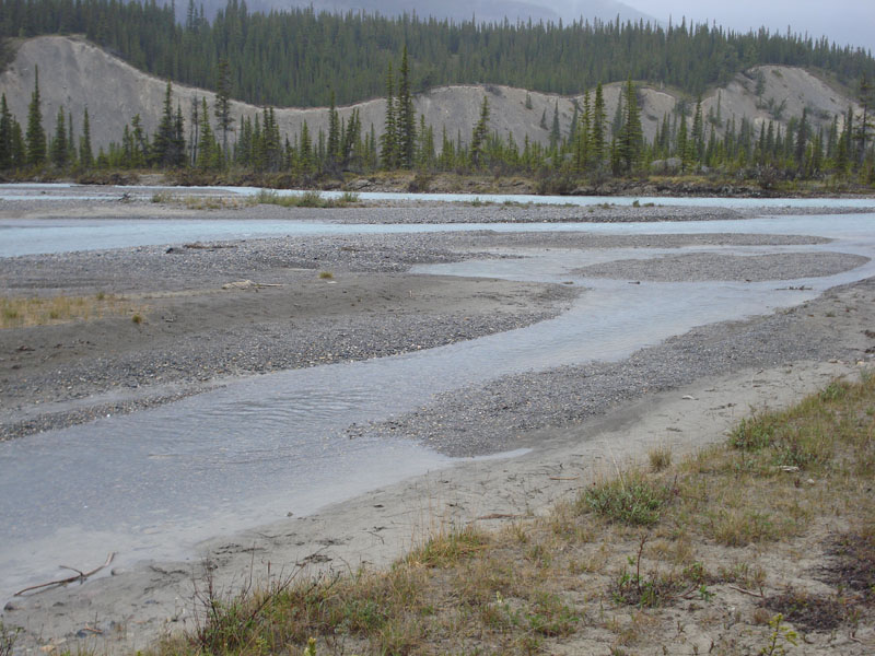
Saskatchewan River

| Image Data | |||
| Date: Direction: State: Country: Marker ID: |
06/15/2010 North East Alberta Canada 12 |
||
| Location: | Hwy 93 crossing the Saskatchewan River | ||
|
|
|
|
Association: Government
Longitude: -116.717205
Description: Braided stream channel of the Saskatchewan River. Stream channel is primarily a gravel/cobble mix with some gravel bars forming islands. Conifers are growing on the more stable islands and some sedges are growing on less stable more frequently flooded islands.
| No Additional Dates for this Site. |