|
|
|
|
 |
||
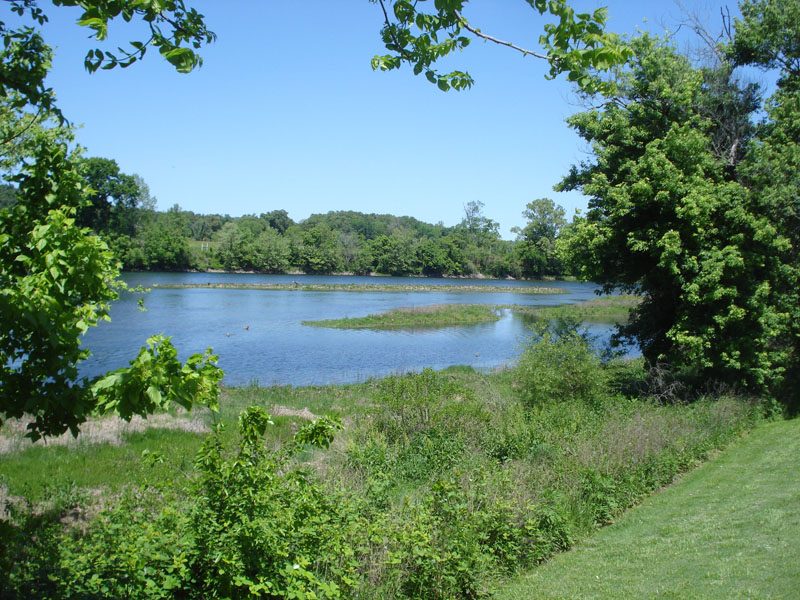
Denton Ferry

| Image Data | |||
| Date: Direction: State: Country: Marker ID: |
05/12/2013 North West Arkansas USA 119 |
||
| Location: | White River downstream from Bull Shoals Dam | ||
|
|
|
|
Association: Government
Longitude: -92.524114
Description: Gravel and sand bars in White River about 5 miles below Bull Shoals Dam. Sand bars have become vegetated with emergent fresh marsh of Scirpus spp. and timothy. Some small shrubs also beginning to grow on sand/gravel bars. These bars have not been flooded in two years.
| No Additional Dates for this Site. |