|
|
|
|
 |
||
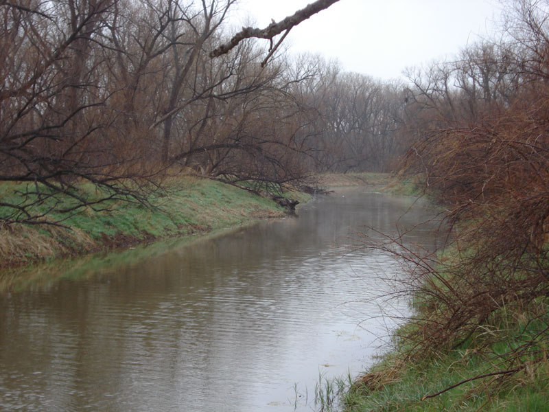
Washita River

| Image Data | |||
| Date: Direction: State: Country: Marker ID: |
04/04/2013 West Oklahoma USA 118 |
||
| Location: | Washita National Wildlife Refuge | ||
|
|
|
|
Association: Government
Longitude: -99.271120
Description: Washita River at the upper end of Lake Foss reservoir. The water level in the lake is down 5 to 6 feet because of 2011 - 2012 drought. Under normal pool water level the water in the river channel would be at the top of the bank. The floodplain on either side of the river channel is sediment deposited in an accreting delta in the upper end of the lake. Johnson Grass is a noxious invasive that covers the banks and floodplain. Dominant trees are cottonwoods.
| No Additional Dates for this Site. |