|
|
|
|
 |
||
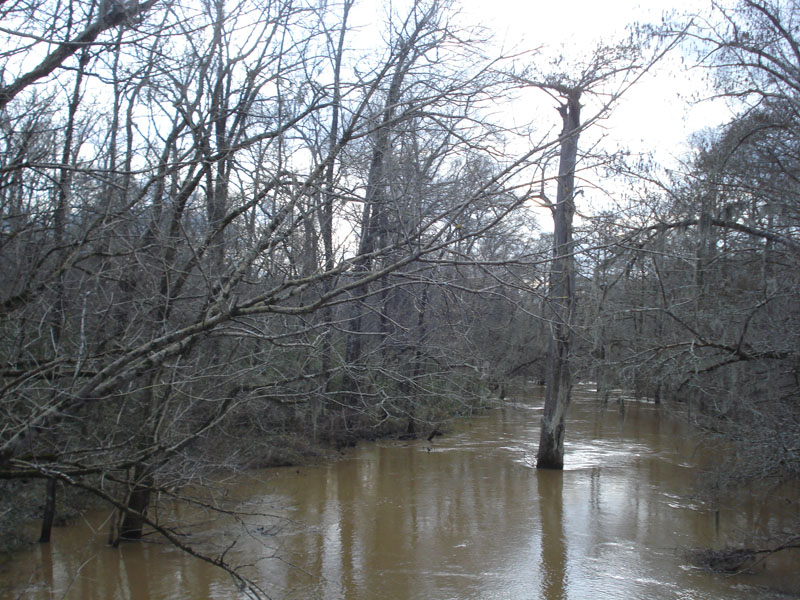
Big Black River

| Image Data | |||
| Date: Direction: State: Country: Marker ID: |
01/25/2013 South West Mississippi USA 108 |
||
| Location: | Mississippi Highway 27 | ||
|
|
|
|
Association: Government
Longitude: -90.736194
Description: Cypress and Black Gum Forested Wetland along overflow channel of the Big Black River. The river has flooded the floodplain after several recent days of hard rains in Louisiana and Mississippi.
| No Additional Dates for this Site. |